Be the first to review this product
MOUNT WASHINGTON MAP & GUIDE

Wonderful illustrated map and guide to Mount Washington, New England's highest peak. Four-color map features all the trails on the mountain--plus descriptions to select paths--and includes info on the Cog Railway, Auto Road, the mountaintop weather observatory, and Mount Washington State Park. Cartography by Ed Rolfe.
Ratings & Reviews
Be the first to review this product
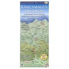
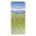
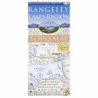
More from WILDERNESS MAP CO